logo not found

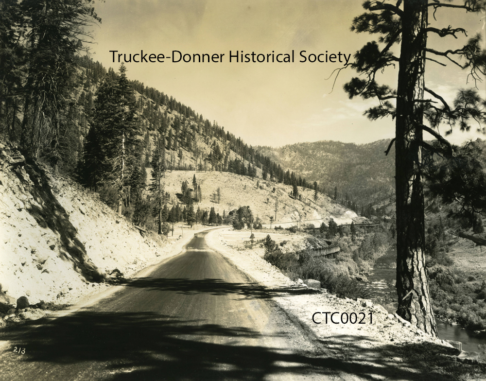
21 images found from the CalTrans (CTC) donation

click on an image to see higher resolution version and additional metadata
image not foundTitle: 1940, reprinted 1951 Topo Map from CalTrans of the North west Lake Tahoe area - Truckee RegionIdentifier: CTC0001
image not foundTitle: Commercial Row. Downtown Truckee on Hwy 40, Commercial Row, listed as 4th of July.Identifier: CTC0002
image not foundTitle: Donner Lake I-80 Roadbed LRIdentifier: CTC0003
image not foundTitle: Aerial overview of Truckee, facing west. Includes Lumber Mill, Cemetery. I-80 not yet completedIdentifier: CTC0004
image not foundTitle: Aerial Overview Photo of Truckee, looking North. Includes Lumber Mill, Cemetery. I-80 not yet completedIdentifier: CTC0005
image not foundTitle: Aerial Overview Photo of Truckee, looking east. Includes Lumber Mill, Cemetery. I-80 not yet completedIdentifier: CTC0006
image not foundTitle: Remnants of Old US Hwy 40. Color Photo of Old roadbed still visible, Hwy 40, Down Truckee River CanyonIdentifier: CTC0007
image not foundTitle: Donner Lake. Overview of Donner Lake taken from Donner Summit ID No for Caltrans mcaH223Identifier: CTC0008
image not foundTitle: Donner Lake. Overview of Donner Lake taken from Donner Summit. Rainbow Bridge visible. ID No. for Caltrans mcaH225Identifier: CTC0009
image not foundTitle: Hwy 40. View of Highway 40 Oiled Road Donner Lake ID No Caltrans mcaH220 Identifier: CTC0010
image not foundTitle: Hwy 40. View of Hwy 40 Oiled Road Donner Lake ID No Caltrans mcaH219Identifier: CTC0011
image not foundTitle: Hwy 40. View of Hwy 40 Oiled Road near Donner Summit, CalTrans ID No mcaH221Identifier: CTC0012
image not foundTitle: Hwy 40. View of Hwy 40 Oiled Road near Donner Summit, CalTrans ID No mcaH224Identifier: CTC0013
image not foundTitle: Hwy 38 same as Hwy 89. View of Unpaved road Truckee River Hwy 38 - 89 ID No CalTrans mcaH207Identifier: CTC0014
image not foundTitle: Hwy 38 same as Hwy 89. View of Unpaved road Truckee River Hwy 38 - 89 ID No CalTrans mcaH206Identifier: CTC0015
image not foundTitle: Hwy 40. View of Bridge near Boca on Hwy 40 Cal Trans ID No mcaH218Identifier: CTC0016
image not foundTitle: Hwy 40. View of Bridge near Boca on Hwy 40 Cal Trans ID No mcaH217Identifier: CTC0017
image not foundTitle: Hwy 40. View of Hwy 40 near Floriston Oiled Road CalTrans ID No mcaH210Identifier: CTC0018
image not foundTitle: Hwy 40. View of Hwy 40 near Floriston Oiled Road CalTrans ID No mcaH211Identifier: CTC0019
image not foundTitle: Hwy 40. View of Hwy 40 near Floriston Oiled Road CalTrans ID No mcaH212Identifier: CTC0020
image not foundTitle: Hwy 40. View of Hwy 40 near Floriston Oiled Road CalTrans ID No mcaH211. Flume is visible in photo.Identifier: CTC0021